
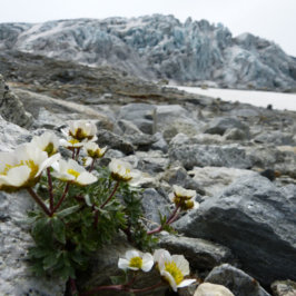
In the Mont-Blanc massif, 2018 winter precipitation levels have exceeded the 1981-2010 average levels by 45%. PhD in climatology at the Université de Neuchâtel and contributing researcher at CREA Mont-Blanc, Geoffrey Klein reports back on this wet and snowy winter.

An especially warm month of January
Overall, average winter temperatures in 2018 have been pretty similar to the averages set over the 1981-2010 period, with only a slight rise of 0.2°C. However, behind these normative averages, we have observed some strong temperature contrasts during the three winter months.
In stark contrast with the below-average temperatures experienced in December and February (-2.0° and 1.3°C respectively), the month of January was the second hottest since records began in 1934. With an average temperature of 4°C above average, 2018 only fell short of 1996 as the warmest on record.
This kind of temperature rise roughly reflects the IPCC’s predictions for world temperatures in 2100 according to the latest climate scenarios (RCP 4.5) established in 2014. So, between now and the end of the century, you can expect to see Januaries as warm as this year’s becoming the new normal in the Chamonix Valley.
Winter precipitation: – 60% in 2017, + 45% in 2018
High inter-annual variability:
After an exceptionally dry winter in 2017 (128mm of precipitation recorded, or 60% below average), winter 2018 has seen an impressive rise in precipitation rates. With an accumulation of 420mm in the three-month period, this winter’s precipitation was 45% above normal and tripled last year’s levels. To give a comparison, cities such as Marseille, Perpignan and Chartres only receive 500-600mm of precipitation per year.

Accéder au module de visualisation interactif
The combination of exceptional precipitation and roughly normal average temperatures allowed for a relatively deep snowpack that was established early in the season. In the town of Chamonix, the ground has been covered by snow since the 29th of November, making for 107 consecutive days of snow cover up until today (March 15, 2018). We can expect that the snow will hang on for at least another few days because cold temperatures and more snow are forecasted for in the coming days.
The snow cover record for the last 10 years was established during the 2008-2009 winter when there were 119 consecutive days with snow on the ground (November 22nd through March 20th).
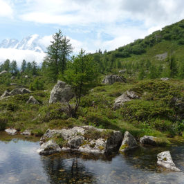
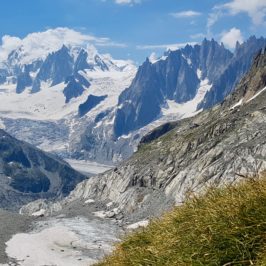
At higher elevations, heavy precipitation has led to a remarkable snowpack. Near Lac Blanc, at 2,330 meters, snowpack has consistently been measured between three and four meters since mid-January.
Geoffrey Klein
To learn more about the Chamonix-Mont-Blanc climate, visit these websites (in French):
Normales climatiques sur la période 1981-2010 (Lamétéo)
Climatologie mensuelle de l’hiver 2018 (Infoclimat)
Observations de la balise nivôse des Aiguilles Rouges (Météo-France)
Hauteurs de neige journalières et par saison depuis 2005 (Phénoclim – CREA Mont-Blanc)


Leave a Reply